Boise sits at an elevation of about 2,700 feet in the Boise River valley, with the Foothills rising sharply to the north. The subsurface here is a mix of alluvium, basalt flows, and sandy terrace deposits. That variability means the local seismic response can change dramatically within a single block. We use the HVSR microtremor survey (Nakamura method) to map the fundamental resonance frequency of the ground. This passive seismic technique requires no drilling and no heavy equipment — just a sensitive three-component seismometer recording ambient vibrations for 20 to 40 minutes per station. It is a fast, non-invasive way to identify soft-soil amplification zones before you commit to a foundation design. For sites near the Boise River or in the Foothills, pairing the HVSR survey with a estudio de respuesta sísmica helps us deliver a complete picture of the expected ground motion.
A single HVSR station in the Boise River floodplain revealed a fundamental frequency of 0.8 Hz — a clear warning of deep soft soils and site amplification risk.
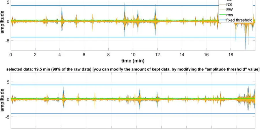
Methodology and scope
Local considerations
The biggest seismic risk in Boise comes from the deep alluvial basin that amplifies long-period ground motions. A structure built on the valley floor can experience shaking several times stronger than a similar building on the basalt exposed in the Foothills. That is not a hypothetical — the 2020 Stanley earthquake (M 6.5) was felt strongly across the Treasure Valley, and the USGS ShakeMap showed clear amplification patterns in the urban corridor. If you ignore the site's resonance frequency, you risk designing for the wrong spectral accelerations. An HVSR microtremor survey identifies the problem stations before the structural engineer locks in the seismic loads.
Explanatory video
Applicable standards
ASCE 7-22 — Site Classification based on Vs30 and site amplification factors, IBC 2021 — Seismic design provisions referencing site-specific ground motion, SESAME (2004) — Guidelines for the implementation of the H/V spectral ratio technique
Associated technical services
Single-Station HVSR Screening
A rapid deployment of 4–8 stations across a property to identify zones of soft soil and estimate fundamental frequency. Ideal for preliminary site assessment before a full geotechnical investigation.
Array-Based HVSR for Basin Mapping
A grid of 12–24 stations covering a larger area, such as a subdivision or commercial campus. The data set produces a contour map of f0 values, revealing the depth and shape of the alluvial basin.
Typical parameters
Frequently asked questions
How long does an HVSR microtremor survey take per site in Boise?
A single station requires 20 to 40 minutes of recording time, plus setup and data transfer. For a typical 8-station screening on a 5-acre lot in the Boise valley floor, we finish the field work in one day.
What is the cost range for an HVSR survey in the Treasure Valley?
The typical cost for a residential or small commercial HVSR survey in Boise ranges between US$1,550 and US$2,870, depending on the number of stations and the complexity of the terrain. Larger basin-mapping grids are quoted per station.
Does the HVSR method work on the basalt caprock in the Boise Foothills?
Yes, it works well. On basalt or shallow rock, the H/V ratio typically shows a flat or very broad peak. That tells us the site has a high fundamental frequency (above 10 Hz) and low amplification — a favorable condition for seismic design.
How does HVSR data feed into the ASCE 7 site classification?
The HVSR fundamental frequency (f0) is used to estimate the average shear-wave velocity to 30 m depth (Vs30) through empirical correlations. This Vs30 value directly determines the site class (A through F) per ASCE 7-22 Table 20.3-1, which controls the design response spectrum.