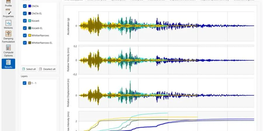
We deploy portable seismographs and MASW arrays across Boise sites to capture shear-wave velocity profiles. The equipment records ambient vibrations and active-source signals down to 30 meters depth. Field crews set up 24-channel geophone spreads along city streets and vacant lots. Data processing follows ASTM D4428 protocols for surface wave inversion. Each survey targets the VS30 parameter required by ASCE 7 for site class determination. Before field work begins we review existing borehole logs from nearby projects. This helps calibrate our velocity models against local stratigraphy. The entire operation from setup to preliminary report takes two to three days depending on access conditions.
In Boise's sedimentary basin, long-period waves from distant earthquakes can amplify more than short-period shaking from local events.
Methodology and scope
Local considerations
The Boise River floodplain creates soft alluvial deposits that amplify shaking differently than the hard basalt on the bench neighborhoods. Contrast between these two settings means soil behavior varies block by block. During a magnitude 6.5 earthquake on the nearby Lost River fault zone, the basin can resonate at periods matching 4 to 8 story buildings. We have seen liquefaction susceptibility in sandy river terrace deposits during the 1983 Borah Peak event. Our analysis flags these zones early so structural engineers can match building periods to site response rather than fighting it.
Applicable standards
ASCE 7-22 Chapter 20 (Site Classification for Seismic Design), IBC 2021 Section 1613 (Seismic Ground Motion Values), ASTM D4428/D4428M-18 (Crosshole Seismic Testing), NEHRP Recommended Seismic Provisions (FEMA P-1050)
Associated technical services
MASW-VS30 Profiling
Multichannel analysis of surface waves using 24 geophones and a sledgehammer source. We process dispersion curves to generate 1D shear-wave velocity profiles down to 30 meters. Results are reported as VS30 values with site classification per ASCE 7, including confidence intervals.
HVSR Microtremor Survey
Horizontal-to-vertical spectral ratio measurements using a three-component broadband seismometer. We record 30 minutes of ambient noise per station and compute the H/V curve to determine fundamental resonance frequency. This is ideal for basin characterization and quick screening across multiple Boise sites.
Typical parameters
Frequently asked questions
What is the difference between VS30 and site class in ASCE 7?
VS30 is the average shear-wave velocity in the upper 30 meters of soil. ASCE 7 uses VS30 ranges to assign a site class from A (hard rock, VS30 > 1,500 m/s) through F (soft soils requiring site-specific analysis). For Boise, we commonly see classes C (360-760 m/s) on the bench and D (180-360 m/s) in the valley floor.
How much does seismic amplification analysis cost in Boise?
A standard MASW-VS30 survey for a single site costs between US$930 and US$2,100 depending on access conditions and the number of profiles needed. HVSR microtremor measurements add US$300 to US$600 per station. Volume discounts apply for subdivision-scale studies with multiple measurement points.
Do I need amplification analysis for a one-story house in Boise?
For a single-story wood-frame house on shallow foundations, the IBC code-prescribed site class is usually sufficient. But if your lot is on soft alluvium near the river or on filled ground, site-specific analysis can reduce foundation costs by avoiding over-designed footings. We recommend it when the building period exceeds 0.3 seconds or if the design PGA exceeds 0.25 g.
How long does it take to get results from a VS30 survey?
Field work takes one day for most single-site projects. Data processing and inversion require another two to three business days. You receive a written report with VS30 values, site classification, and dispersion curves within one week of field completion. Expedited turnaround is available for an additional fee.